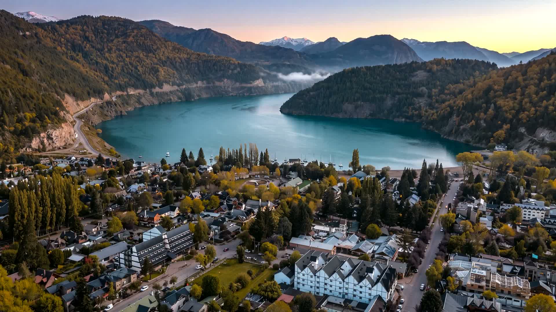
Land for sale in Patagonia. Documents first.
Price in USD or on request. Title documents and buildable area where on file.
It starts as a line in the cadastre.
No photographs, no price, no paperwork. A number in a public registry.
- Cadastral number only
- Boundary unregistered
- Title unchecked
The escribano reads the whole chain, not the last page.
Owners, liens, debts, foreign-buyer status. Each parcel page shows which documents are on file.
- Informe de dominio
- Libre deuda
- Foreign-buyer status on record
Zoning decides what the land is allowed to become.
Slope, setbacks, services, protected forest. The buildable envelope, on the record.
- FOS · FOT
- Aptitud urbano-ambiental
- OTBN · Ley 26.331
A drawing the municipality can stamp.
Catastro, Obras, Ambiental. One file that moves instead of circling.
- Catastro → Obras → Ambiental
- Visado + aprobación definitiva
- Feeds Digital City
Foundation, frame, roof. Flown again as the work goes up.
The scan that sold the land keeps recording what happens on it.
- Director de obra
- Repeat flights
- Certificado final de obra
The documents we gather on each parcel in San Martín de los Andes
We work from documents, not from the seller's word. Each parcel page shows which of these are on file and which are still requested.
Title deed (Escritura)
Read by the escribano. The deed is in Spanish; ask us and we explain it in English.
Survey plan (Plano de mensura)
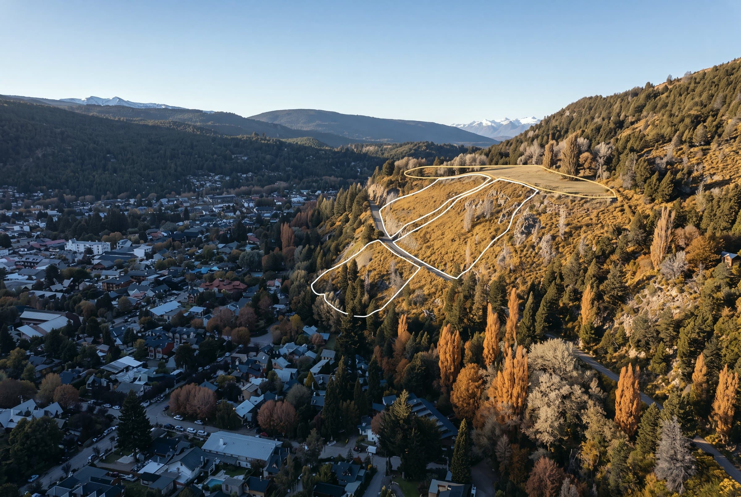
A boundary polygon registered with Catastro, not a sketch over a satellite image.
Ownership report (Informe de dominio)
Liens, easements and the ownership chain, pulled from the provincial registry.
Tax clearance (Libre deuda)
Municipal and provincial debt: cleared, or disclosed on the page.
Foreign-buyer status
San Martín de los Andes sits inside the Border Security Zone, so a foreign buyer needs prior conformity from the Ministerio del Interior (Decreto-Ley 15.385/44). Rural parcels are additionally subject to the ownership cap in Ley 26.737. Both are flagged per parcel; the escribano confirms.
RTK drone capture
Where a parcel has been flown: two-centimetre relative precision. Slope and sun are indicative, from public relief of about 30 m. Wind is modelled, not measured on the parcel: five years of hourly ERA5 reanalysis (2020 to 2024), downscaled over the terrain with WindNinja.
Indicative on the public page. Full documents unlock at identity verification.
Two sides of the same record
Buying land in Patagonia
With a free account, every listed parcel shows its asking price in USD (or price on request where none is set), the documents held on file, the zoning it falls under and, where the parcel has been flown, a 3D scan you can zoom to eye level. The short record of every parcel stays public.
We write in English or Spanish. Deeds and registry papers are in Spanish.
Selling land in San Martín de los Andes
Local portals reach local buyers. Send us the cadastral number and we survey the parcel, fly it, gather the documents for the escribano and build the page. Your account shows each stage of the listing, from the team call to closing.
We send you the page to read before we publish it.
Eight stages. Three things a buyer actually holds.
Three unitless tracks across the eight stages of a parcel's life — how complete the record is, how certain the law is, and how ready the land is to build on. Each track moves only when a named document closes a stage.
- Record on file
- Legal certainty
- Build readiness
- Record on fileadvances
- Legal certaintyadvances
- Build readinessadvances
Relative, unitless and indicative. It describes the order of the stages, not a price, a schedule or a return on any listed parcel.
Questions buyers ask first
Can a foreigner buy land in San Martín de los Andes?
- Yes, with a step most listings never mention. San Martín de los Andes sits inside the Border Security Zone, so a foreign buyer needs prior conformity from the Ministerio del Interior under Decreto-Ley 15.385/44 before the deed can be recorded. Rural parcels are additionally subject to the foreign-ownership cap in Ley 26.737, whose status is currently before the courts. The Ark flags both per parcel; the escribano confirms each case.
Is the number on the page the number I pay?
- The listed figure is the asking price in USD; where the seller has not fixed one yet, the page says price on request. Transfer tax, the escribano's fee, stamp duty and registration are shown separately on the parcel page, so the total is visible before you make contact.
Can I inspect the land without flying to Argentina?
- Where a parcel has been flown, it is surveyed with an RTK drone at two-centimetre relative precision and published as a 3D scan you can zoom to eye level. Slope and sun exposure are indicative: they come from public relief of about 30 m. Wind is modelled, not measured on the parcel: five years of hourly ERA5 reanalysis (2020 to 2024), downscaled over the terrain with WindNinja.
Start from either side
Browse what is listed, or send a parcel for verification.