Skip to content
Available152109226840000

San Martín de los Andes · Ch. 23 — Lote F

San Martín de los Andes, Neuquén

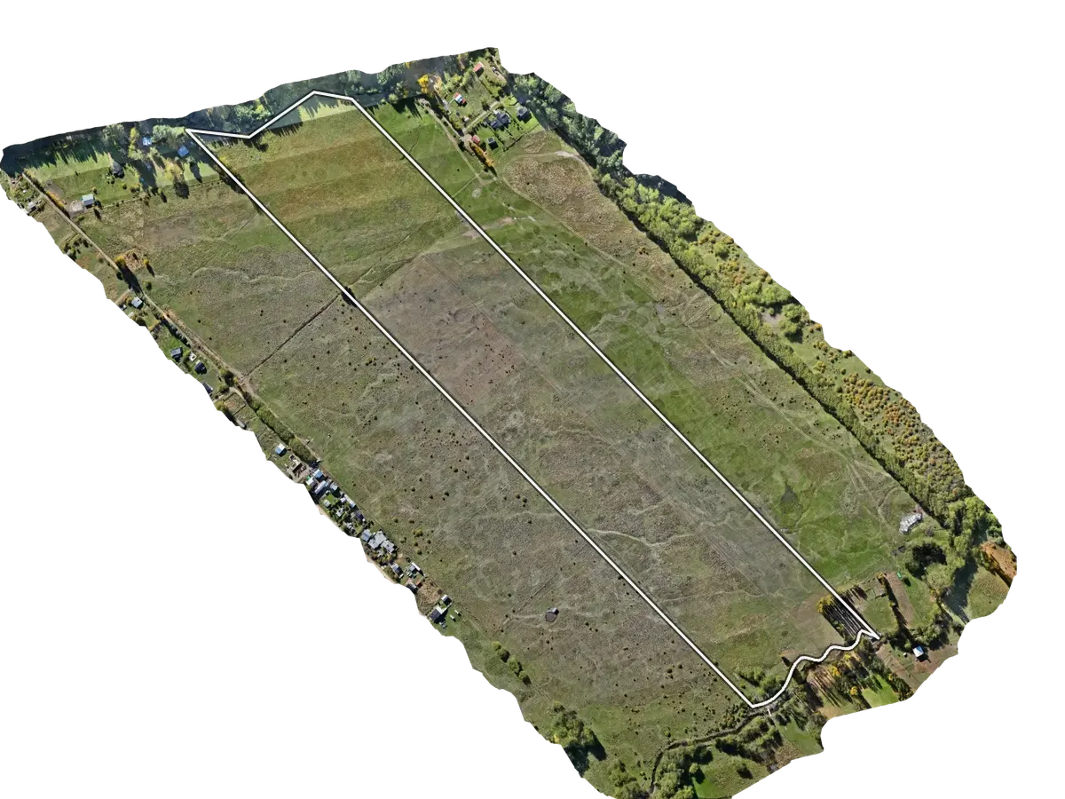
Drone orthophoto of Lote F, Chacra 23 (15.8 ha), San Martín de los Andes, Neuquén, with the cadastral boundary outlined
Drone orthophoto, The Ark. The line is the cadastral boundary on record.
PricePrice on request
View full parcel

Free account. Sign in or create one, and you come back to this land.

Area by survey
15.8 ha From the parcel geometry: ≈ 16.1 ha
Zoning
PUNTAS VEGA · Ord. 8390/09
Buildability
FOS 10% · 9,5 m
Border zone
Yes Per Decreto 253/2018
Services
Not surveyed
Stage
Raw Land

What the account opens

  • RTK drone 3D scan on real terrain, where the parcel has been flown
  • Cadastral plan, survey and boundaries
  • Deed, debt clearance and title status
  • Direct enquiry about the parcel

The Ark drone survey

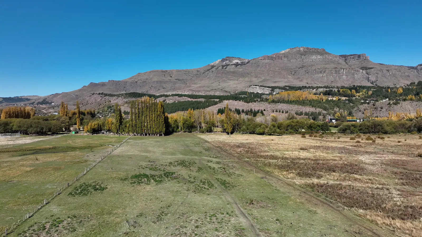
  • Drone view over Lote F, Chacra 23, San Martín de los Andes, Neuquén, looking south-east across the meadow
    Looking south-east across the meadow
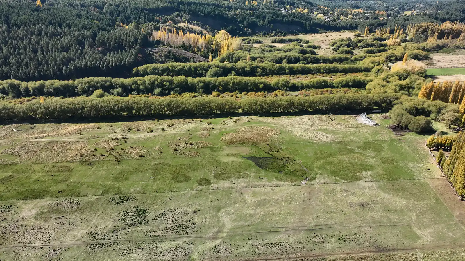
  • Drone view over Lote F, Chacra 23, San Martín de los Andes, Neuquén, from above, looking north-east across the meadow
    From above, looking north-east across the meadow
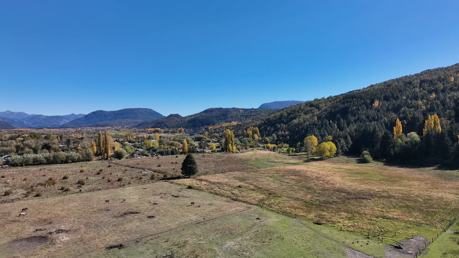
  • Drone view over Lote F, Chacra 23, San Martín de los Andes, Neuquén, looking west across the pasture toward the houses
    Looking west across the pasture toward the houses